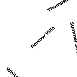
16 WHITEHALL RD
Owner Information
GRODZICKI ROBERT
16 WHITEHALL RD
AMESBURY, MA None


Property Details
16 WHITEHALL RD is classified as a Single Family Residential (Colonial).
The primary structure on this property was built in 1928. There are 3,638ft2 of built area within this property. There is 1,804ft2 of residential/living space within this property. This property is listed as having 6 rooms.
16 WHITEHALL RD is valued at $343,900. The land is valued at $162,600 and the structures are valued at $163,300. There is an additional valuation of $18,000 on this property.
This property is in Zone R8. Confirm with local Zoning Board authorities to ensure there are no overlays or other easements on this property.
The most recent deed for 16 WHITEHALL RD is recorded at the local registrar in Book 36925, Page 354. 16 WHITEHALL RD was last sold on Thursday, August 9, 2018 for $1.
Assessment data from fiscal year 2022.
Flood Data
According to the FEMA National Flood Hazard Layer, this property does not appear to be in a flood zone. It may also be in an area not yet reviewed. Nonetheless, confirm this information prior to taking any action.
To view the flood hazards around this property, create a FEMA "Firmette" Map of the area around 16 WHITEHALL RD.
Broadband Internet Providers
| Provider | Type | Bandwidth (mbps) | |
|---|---|---|---|
| Viasat Inc | Satellite | 100 | 3 |
| VSAT Systems, LLC. | Satellite | 2 | 1 |
| HughesNet | Satellite | 25 | 3 |
| GCI Communication Corp. | Satellite | 0 | 0 |
| Comcast | Cable | 1000 | 35 |
| Verizon New England Inc. | DSL | 15 | 1 |
Broadband service provider data from December 2020.
Adjacent Properties
- 12 CAMMETTS CT
Auto Repair Facilities owned by SCHERI RICHARD A - 18 WHITEHALL RD
Two-Family Residential owned by ROBPAT ASSOCIATED, LLC - 8 WHITEHALL RD
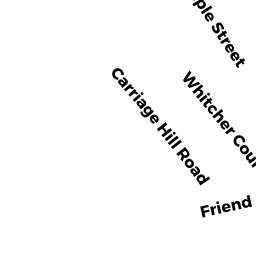
Two-Family Residential owned by MACLEAN JAMES - 111 FRIEND ST
Single Family Residential owned by TRUSTEES OF THE 111 FRIEND STREET REALTY - 115 FRIEND ST
Single Family Residential owned by LEVY ABIGAIL JURIST - 10 CAMMETTS CT
Single Family Residential owned by SCHERI RICHARD A